Features at a glance
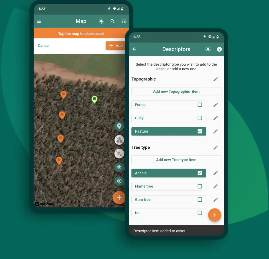
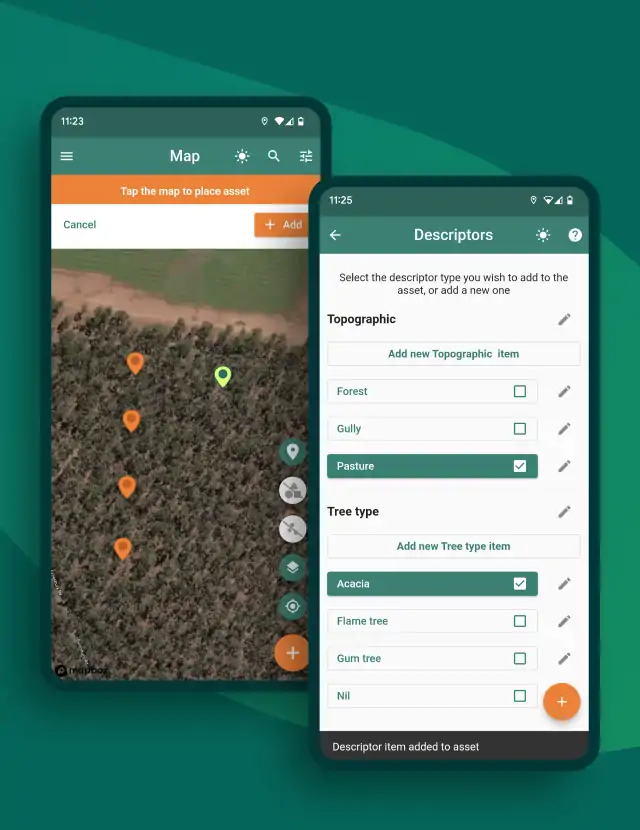
Asset management
Create and manage geo-tagged data points (assets) on the map interface.
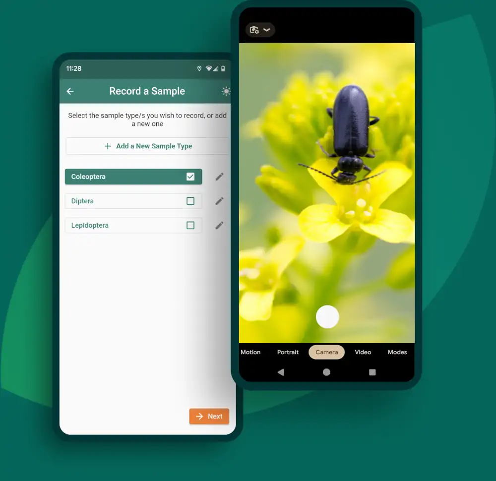
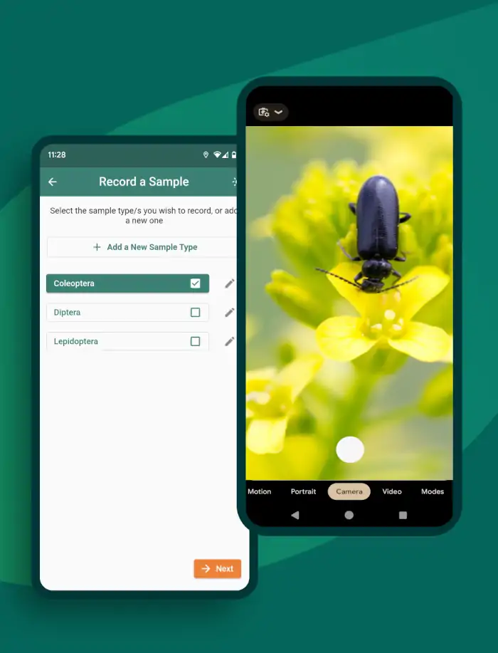
Data sampling
Seamlessly collect sample data for assets. Collect numeric data, take notes and capture images. These are automatically time stamped and geotagged.
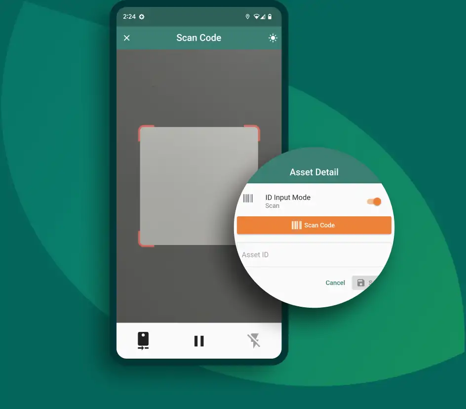
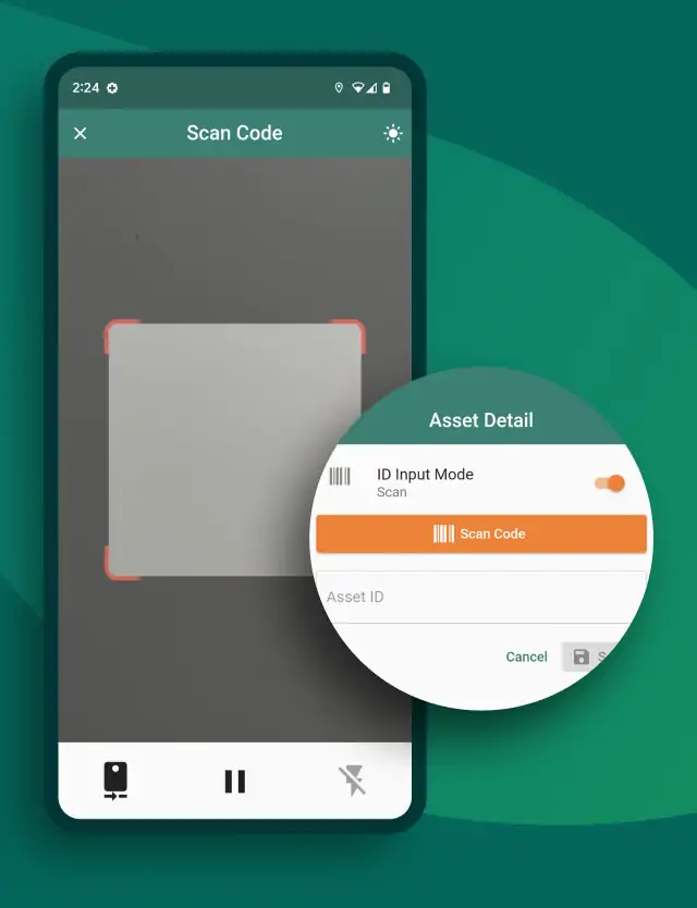
Barcode and QR code scanning
Input and retrieve data by barcode, data matrix code, or manual input.
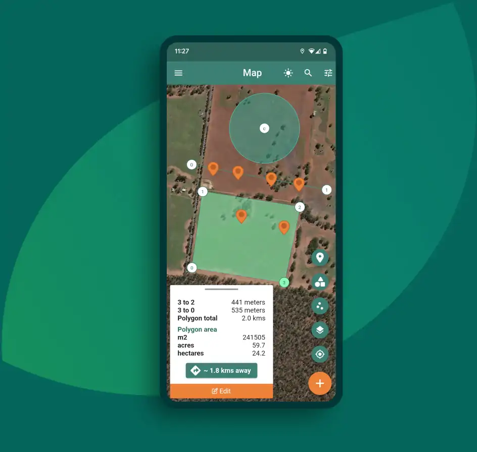
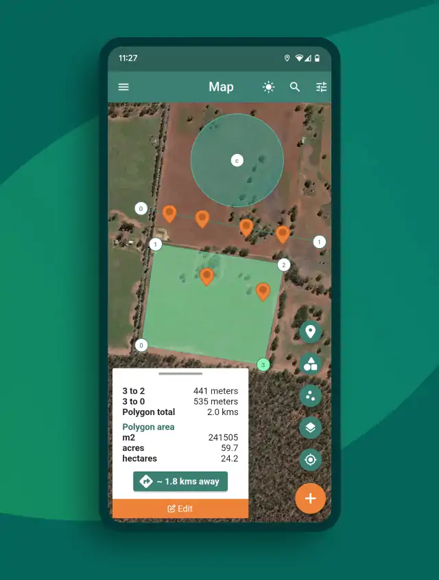
Draw and measure
Create lines, polygons and circles in the map. Distances and areas are automatically calculated for you.
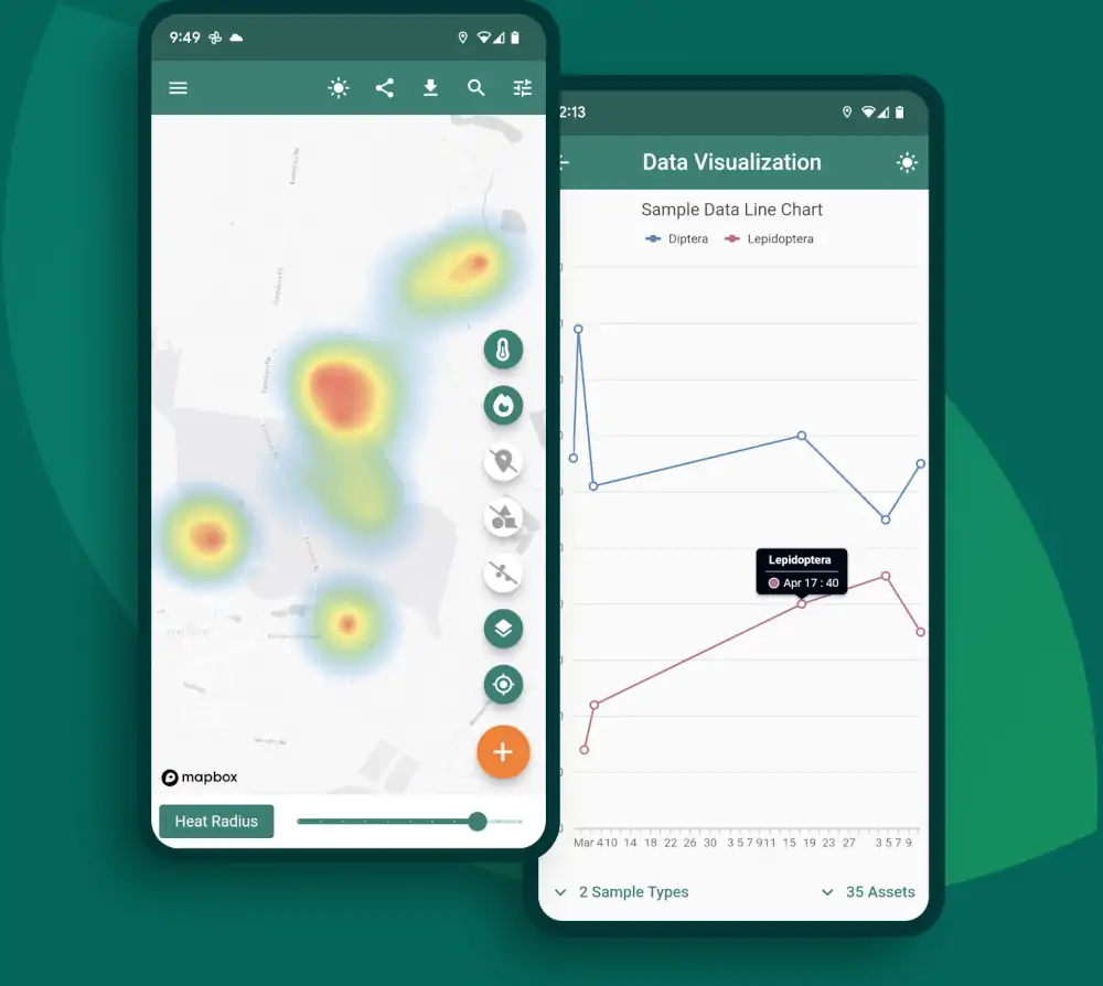
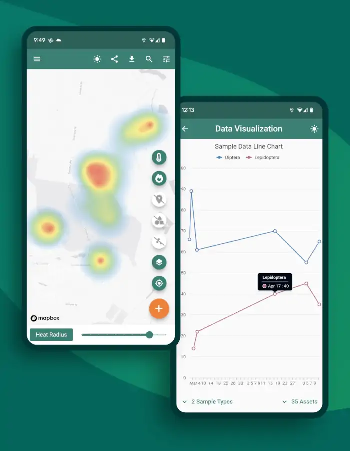
Data visualization
Quickly see charts, tables and heatmaps of sampling results in real-time.
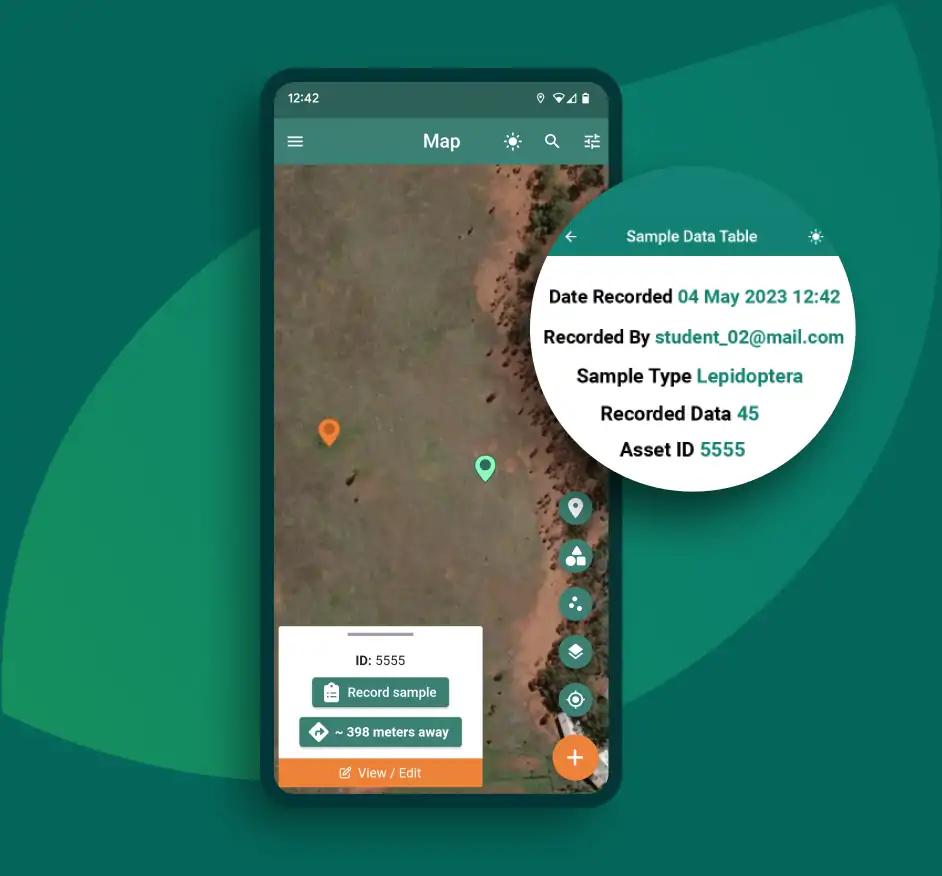
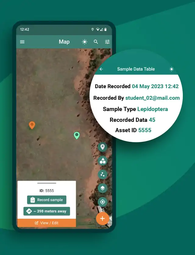
Real-time
Real-time visibility of all in-app changes for project members.
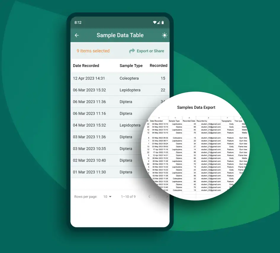
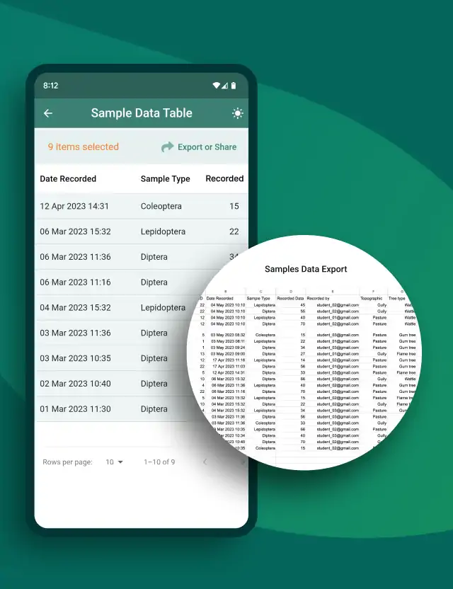
Data export and sharing
Export/Share data as .csv to Google Drive, email, SMS and more.
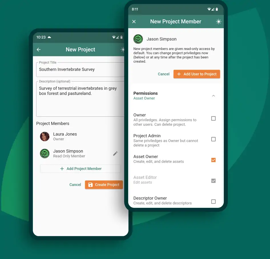
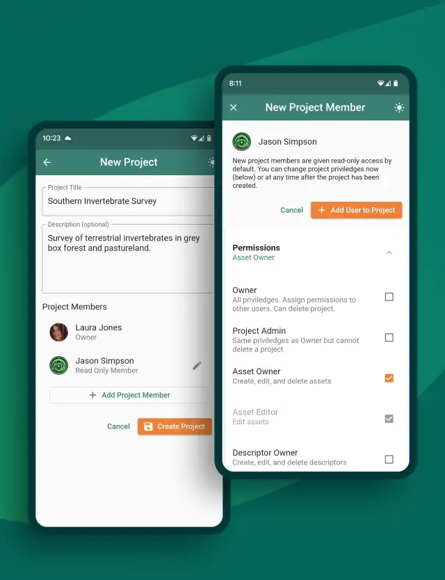
Projects, members, and permissions
Easy project creation and management of team members, including permissions.
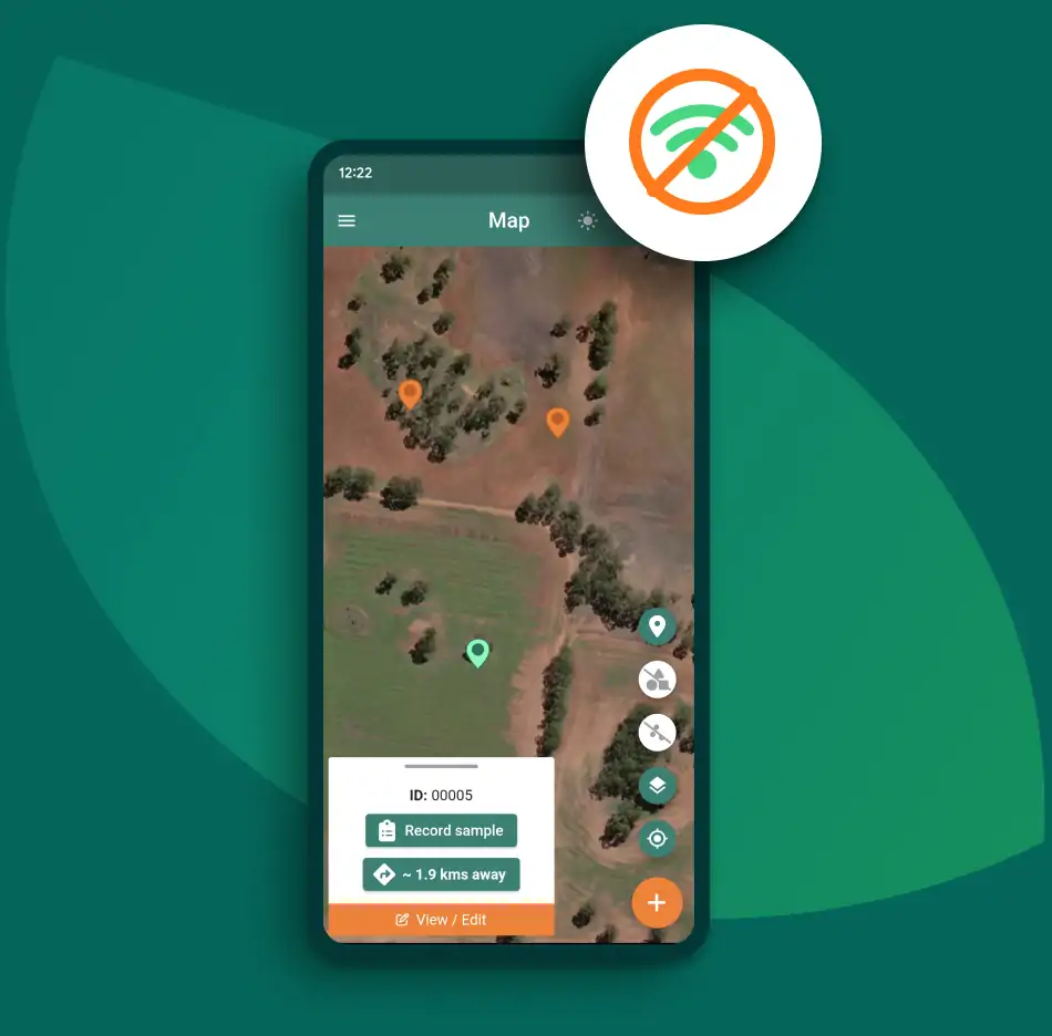
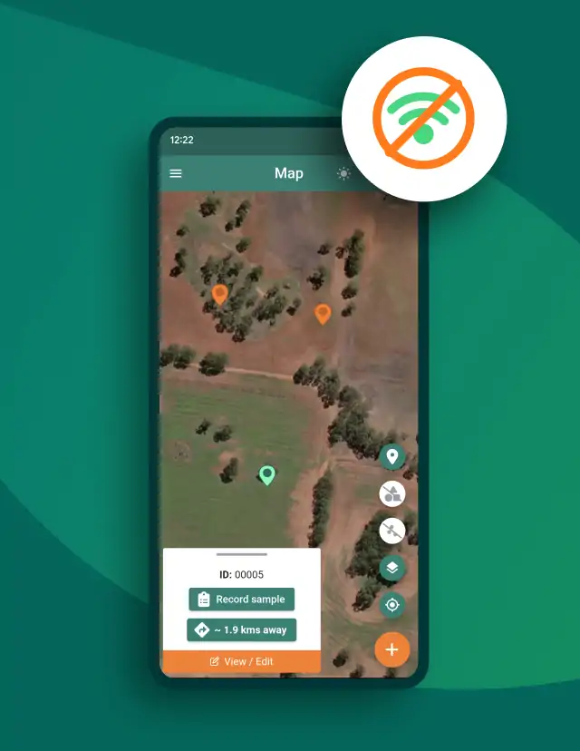
Offline capabilities
Download maps for use offline. Work without wifi or mobile coverage and all changes will automatically sync when back in range.
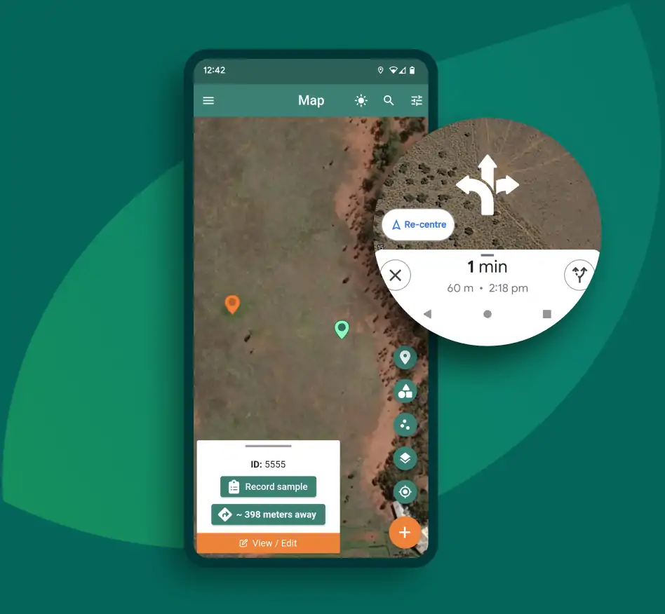
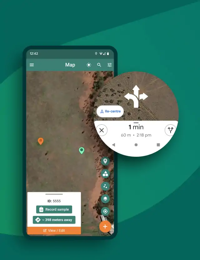
Navigate to assets
The navigation feature (driving or walking) helps you find assets in the field.
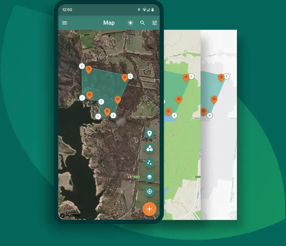
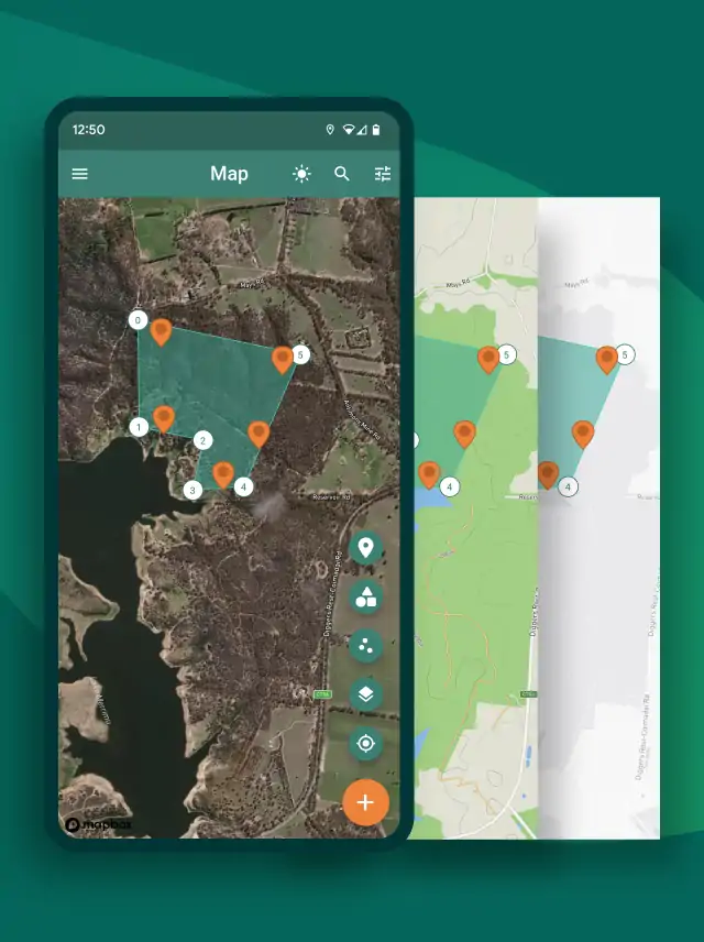
Map modes
Multiple map base-layers available including Satellite, Street, Terrain, and Monochrome.
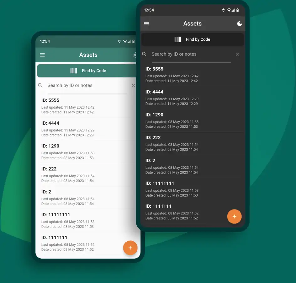
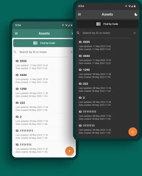
Light and dark modes
For better visibility on the field, no matter what time of day it is.